Reserve from the case
Shipping Estimate
USA
- USA
- CAN
- USA
- CAN
Ships within 48 hours · Estimated delivery Aug 28 - Sep 2
Reserve from the case
Ships within 48 hours · Estimated delivery Aug 28 - Sep 2
- North: to cover all of Blanchard
The New York State Intermediate Thematic Wall Map is the perfect teaching aid for state studies and related subjects
Mexican cession and the Gadsden Purchase
The NOAA Nautical Chart 12207: Cape Henry to Currituck Beach Light is printed on heavy weight acid free paper with the latest Notice to Mariners applied
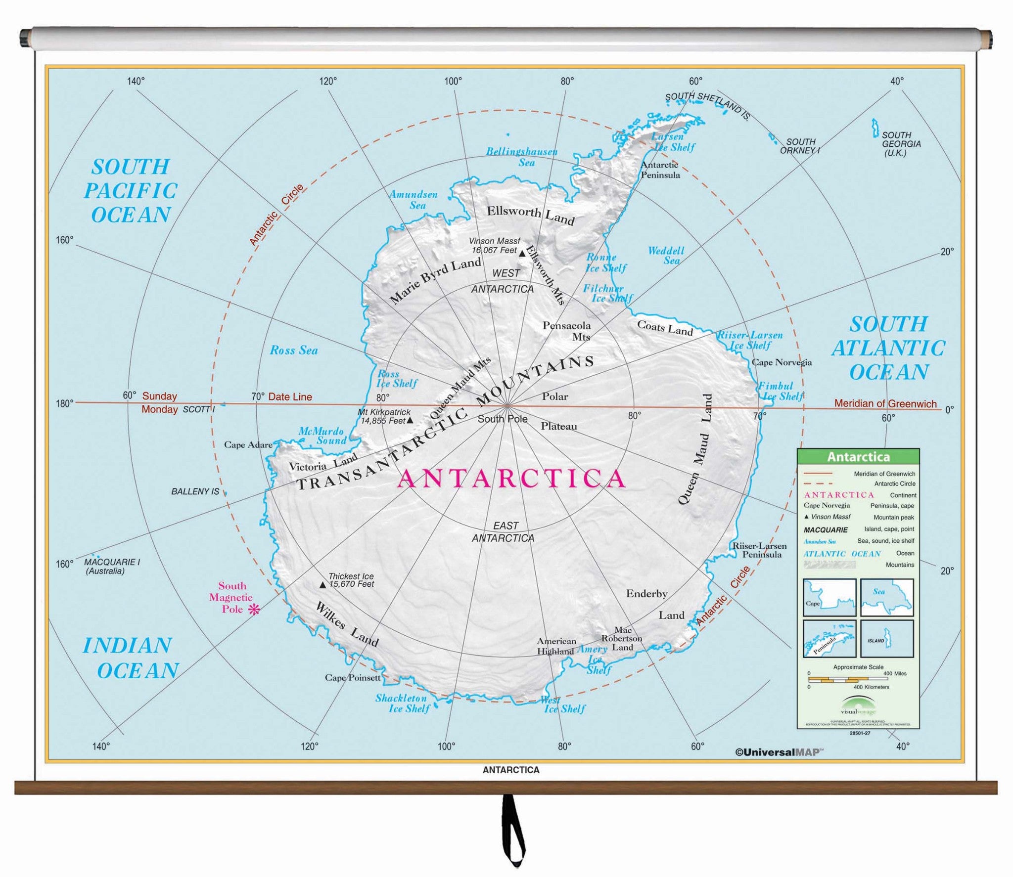
Antarctica Essential Classroom Wall Map Finishing:Railed - North: to cover allThe Antarctica Essential Classroom Wall Map measures 54" x 43". Includes the Transantarctic Mountains, the south magnetic pole, the seas around Antarctica, and the lands named after the Antarctic explorers. Mounted on roller w and backboard. The Essential Series features an enhanced legend and pictorial landform illustrations for intermediate level use. Also shows deserts wetlands. The inset map locator illustrates the location of each continent in


US$ 69.95


US$ 355.12


US$ 130.68


Pay in 4 interest-free payments of $47.49 Learn more